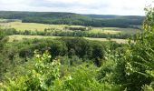
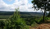
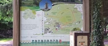
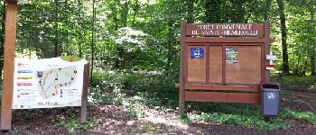
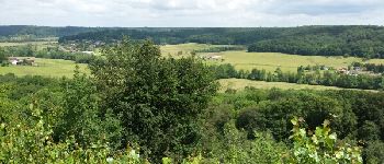
Tocht Stappen Les Islettes - LA VALLEE DE DE LA BIESME - Photo

LA VALLEE DE DE LA BIESME

 cath310
cath310

Gebruiker

© OpenStreetMap contributors
Lengte
Lengte
16,3 km
Max. hoogte
Max. hoogte
268 m
Positief hoogteverschil
306 m
Km-Effort
Km-Effort  
20 km
Min. hoogte
Min. hoogte
157 m
Negatief hoogteverschil
306 m
Boucle
Boucle
Ja
Datum van aanmaak :
2016-06-19 00:00:00.0
Laatste wijziging :
2016-06-19 00:00:00.0

(1 Bericht)

Stappen
Stappen
4h26
Moeilijkheid : Medium

Scan deze QR-code om de tocht te openen in de SityTrail-applicatie

Gratisgps-wandelapplicatie

Logo SityTrail SityTrail
IGN / Geografische instituten

SityTrail uit de App Store downloaden SityTrail uit Google Play downloaden

Logo SityTrail SityTrail World

De wereld gaat voor u open

SityTrail uit de App Store downloaden SityTrail uit Google Play downloaden SityTrail op Huawei AppGallery downloaden

Over ons

Tocht Stappen van 16,3 km beschikbaar op Grand Est, Meuse, Les Islettes. Deze tocht wordt voorgesteld door cath310.

Beschrijving

Marche populaire au départ du stade des ISLETTES, pays d'Argonne. le 19 juin 2016.
pas tout à fait le parcours prévu de 20k modifié suite aux intempéries en toute dernière minute, semble-t-il. Très bon accueil et surtout belle organisation..bravo à toute l'équipe

Hoogteprofiel

Foto's

POI's

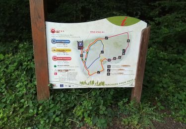
POI Les Islettes - carte Point 1 - Photo
cath310
LES ISLETTES 
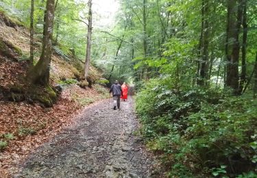
POI Sainte-Menehould - Point 2 - Photo
cath310
SAINTE-MENEHOULD 
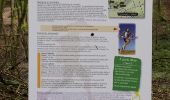
POI Sainte-Menehould - Point 4 - Photo
cath310
SAINTE-MENEHOULD 
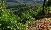
POI Sainte-Menehould - Point 5 - Photo
cath310
SAINTE-MENEHOULD 
POI Sainte-Menehould - Point 7 - Photo
cath310
SAINTE-MENEHOULD 
POI Sainte-Menehould - Point 10 - Photo
cath310
SAINTE-MENEHOULD 

Plaatsbepaling

Land:
France
Regio :
Grand Est
Departement/Provincie :
Meuse
Gemeente :
Les Islettes
Locatie:
Unknown
Vertrek:(Dec)
Vertrek:(UTM)
645715 ; 5441574 (31U) N.

Opmerkingen

Gelieve in te loggen om een commentaar of een beoordeling achter te laten


BELLE RANDONNEE, beau parcours sur des chemins corrects et super agréables... promis : nous ne manquerons pas la prochaine édition !belle organisation et très bon accueil : BRAVO !


Wandeltochten in de omgeving

Tocht Te voet Beaulieu-en-Argonne - La Forêt Argonnaise - Photo
Te voet
GUIDE+

Te voet

Gemakkelijk
Beaulieu-en-Argonne, Grand Est, Meuse, France
7,9 km | 11,1 km-effort
2h 30min
Neen
Tocht Stappen Sainte-Menehould - La Grange aux Bois du 22/06/2022 - Photo
Stappen
GUIDE
VANDERPUTTENMi

Stappen

Medium
Sainte-Menehould, Grand Est, Marne, France
6,6 km | 8,2 km-effort
1h 55min
Ja
Tocht Stappen Sainte-Menehould - la Granges aux Bois complément - Photo
Stappen
GUIDE
VANDERPUTTENMi

Stappen

Gemakkelijk
Sainte-Menehould, Grand Est, Marne, France
3,2 km | 3,9 km-effort
50min
Ja
Tocht Stappen Futeau - Futeau - haute chevauchée - Gorge de Châtrice - Photo
Stappen
mikaou.t

Stappen

Medium
Futeau, Grand Est, Meuse, France
5,3 km | 7 km-effort
1h 23min
Ja
Tocht Noords wandelen Clermont-en-Argonne - 26 - Photo
Noords wandelen
Divio

Noords wandelen

Heel gemakkelijk
Clermont-en-Argonne, Grand Est, Meuse, France
9,3 km | 12 km-effort
2h 14min
Ja
Tocht Noords wandelen Sainte-Menehould - Etangs de Florent & fau de valmy - Photo
Noords wandelen
Divio

Noords wandelen

Heel gemakkelijk
Sainte-Menehould, Grand Est, Marne, France
14,1 km | 17,6 km-effort
2h 47min
Ja
Tocht Stappen Florent-en-Argonne - SNS FLORENT EN ARGONNE 19 - Photo
Stappen
Patrick Martinus

Stappen

Zeer moeilijk
Florent-en-Argonne, Grand Est, Marne, France
16,7 km | 19,9 km-effort
4h 20min
Ja
Tocht Stappen Sainte-Menehould - SNS LA GRANGE AU BOIS  - Photo
Stappen
Patrick Martinus

Stappen

Medium
Sainte-Menehould, Grand Est, Marne, France
7,7 km | 9,7 km-effort
2h 5min
Ja
Tocht Noords wandelen Les Islettes - Chêne Blaise bis - Photo
Noords wandelen
Divio

Noords wandelen

Heel gemakkelijk
Les Islettes, Grand Est, Meuse, France
12,9 km | 0 m-effort
2h 51min
Ja


Sluiten
Mijn abonnementen